Typhoon Shanshan turned into a tropical cyclone on Sunday off the Pacific coast of the Tokai region and disappeared by early Monday, according to the Japan Meteorological Agency. Originating near the Mariana Islands in the Pacific Ocean on Aug. 22, the typhoon moved slowly, causing heavy rain in various parts of Japan that disrupted transportation and triggered mudslides.
Seven deaths had been confirmed, one person was missing and 129 people had been injured as of 6 p.m. Sunday, according to The Yomiuri Shimbun’s tally.
Also referred to as Typhoon No. 10, the storm moved in a complex pattern. After landing on Kagoshima Prefecture on Thursday, it moved slowly from Kyushu to Shikoku. It spurred heavy rain in Kyushu, and in locations not directly hit by the typhoon in the Kanto and Tokai regions.


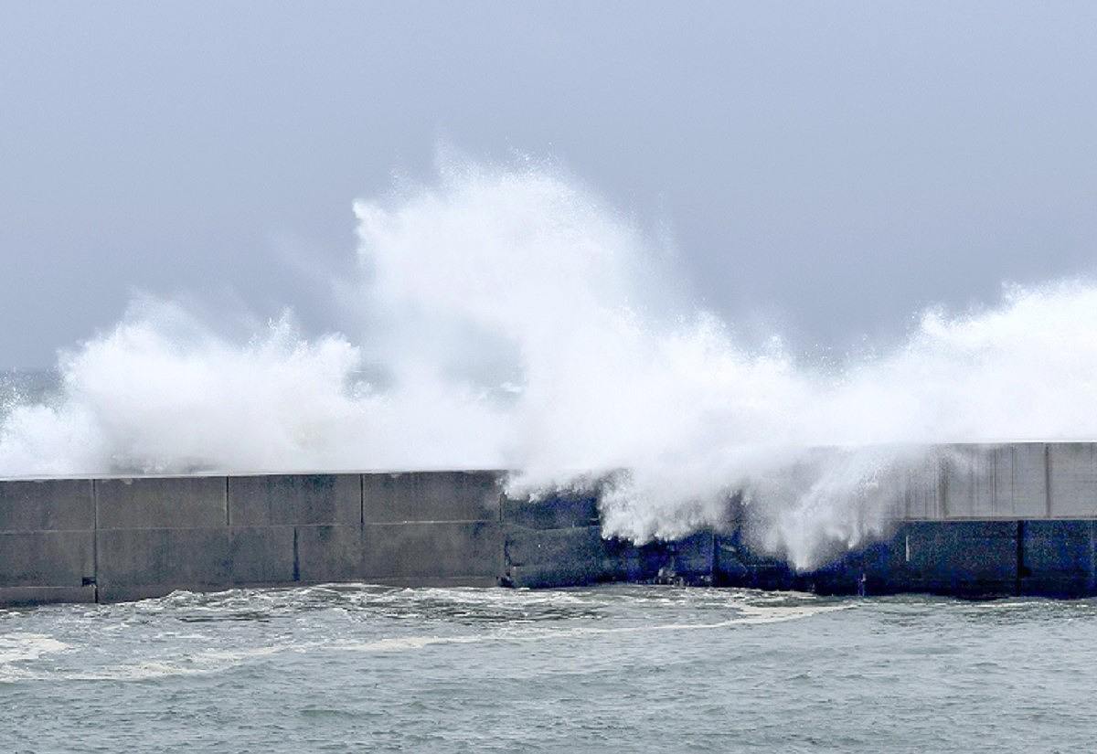
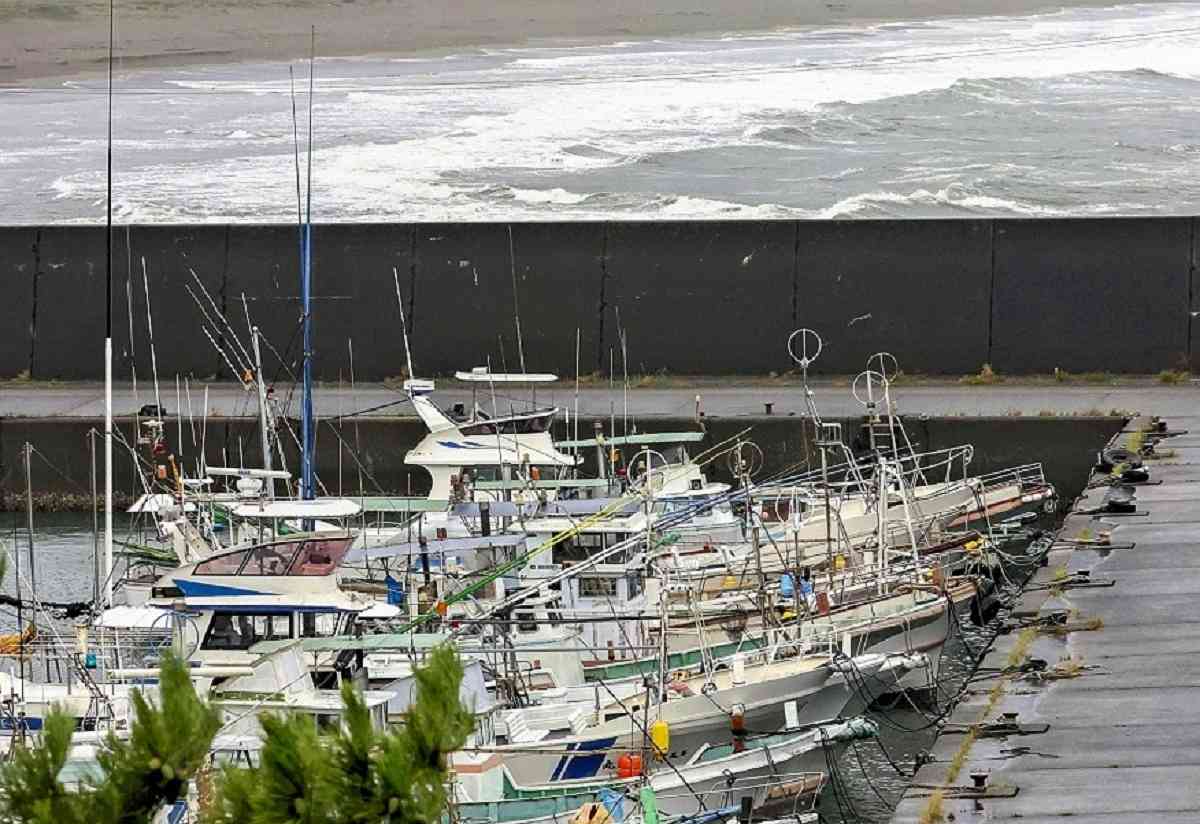
Left: High waves surge into a fishing port in Kochi on Thursday. Right: Fishing boats are moored in a fishing port in Kuroshio, Kochi Prefecture, in preparation for the approaching typhoon on Thursday.
Sea surface temperatures south of Japan, where the typhoon advanced, are said to have been as hot as those in the tropics this summer. As a result, a large amount of water vapor supplied by the ocean developed the typhoon to nearly the strongest level.
Precipitation from Aug. 27, when the typhoon approached Japan, through 11 a.m. on Sunday reached 942 millimeters in Izu, Shizuoka Prefecture, which is 2.3 times the normal amount of precipitation for the whole of August, according to the Japan Meteorological Agency. There were 911 millimeters of precipitation in Ebino, Miyazaki Prefecture, over the same period.

